TRUSTED BY LAND PROFESSIONALS
“I have been amazed how many changes they are making, many of which are helpful for our California and permanent crop environment. I find myself using the sold land, property search, and customizable report features the most. I use them for my analysis and as part of my marketing summary for clients."
"I have been using the Acres product as a regular part of my business for almost a year now, and I wanted to let you know how great I think the Acres tool is. [...] Any agent working in the land industry should be using this tool."
Host of American Land Man Podcast Neil Hauger
"Acres has saved me a lot of time and effort, as I no longer need to juggle between multiple mapping platforms. I highly recommend Acres to anyone in the real estate industry."

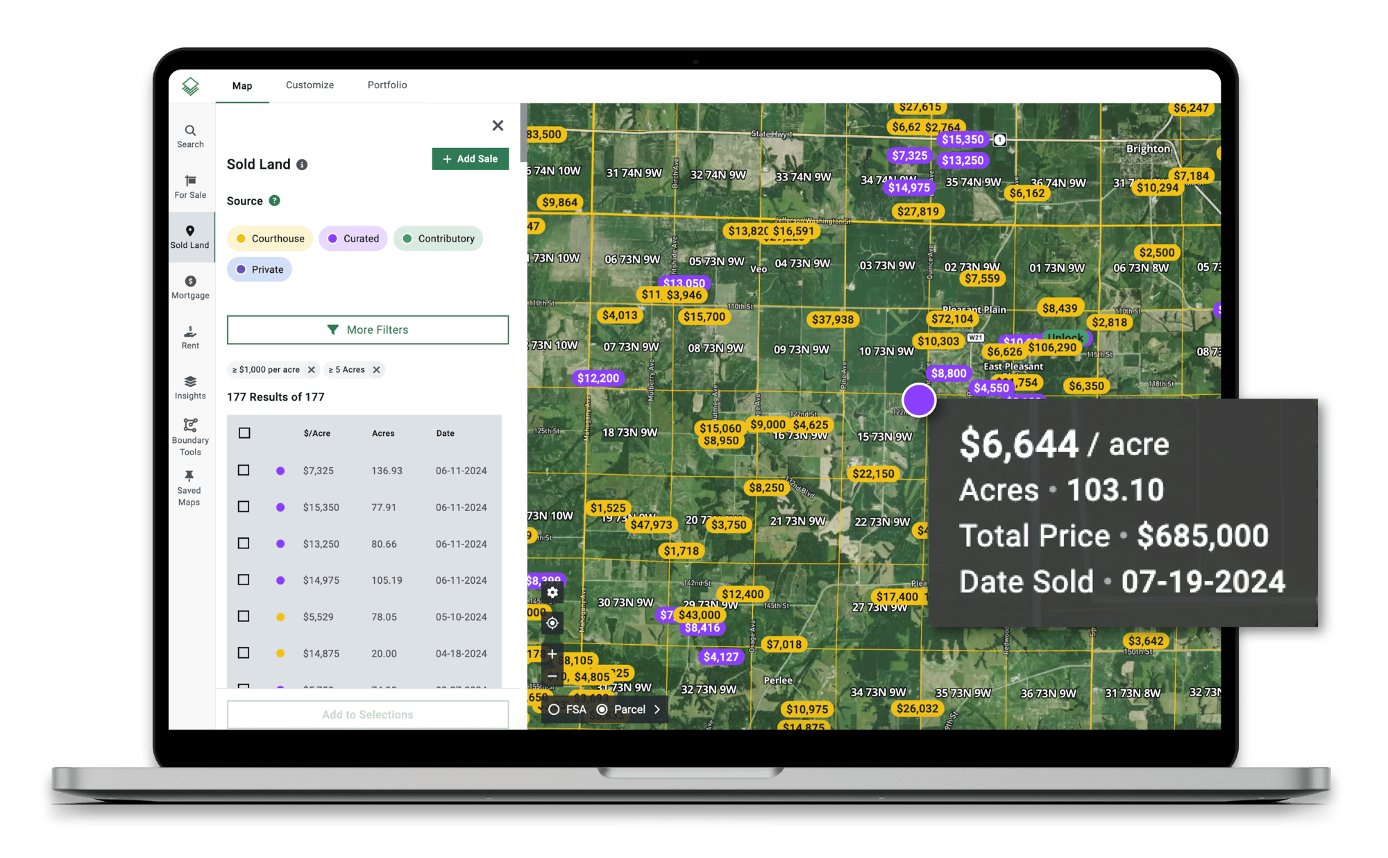
Stay Ahead of the Market
Get the latest land sales data with weekly updates and coverage that includes non-disclosure and partial disclosure states.
Create Shareable Custom Maps in Minutes
Edit and Merge Boundaries
Create and merge boundaries to clearly mark property lines.

Draw, Notate, and Customize
Add shapes, lines, and icons to callout key property features.
Share and Embed
Share a direct link or add a map to any website or listing.

Export to Printable PDFs
Generate a PDF report with all your customizations included.
Showcase Your Expertise
Generate broker price opinions, share professional property reports featuring your brand, and create beautiful custom maps to enhance your listings.
1515.png?width=1600&height=1028&name=Custom%20Maps%20(1).png)

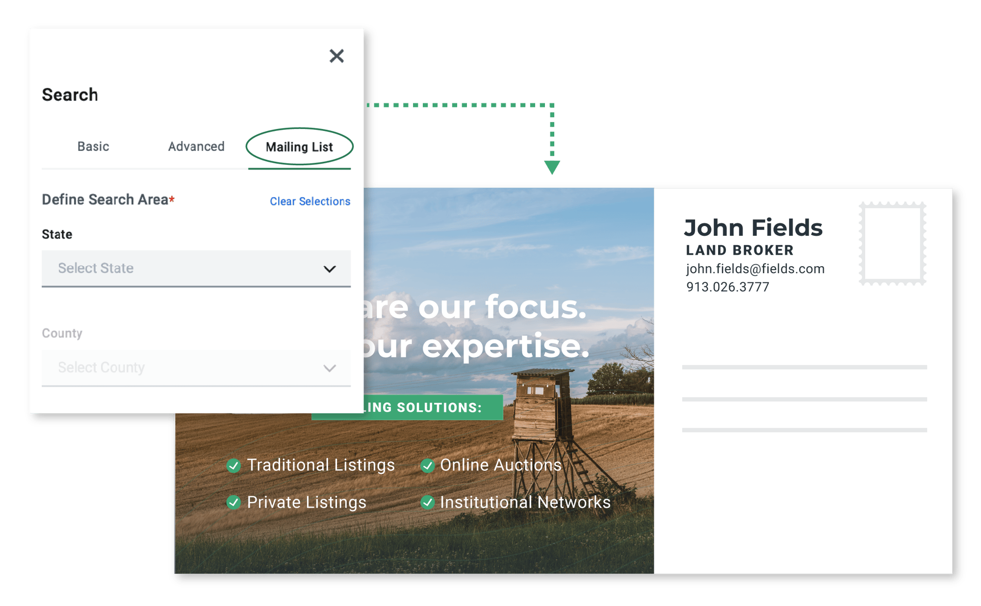
Unearth New Opportunities
Search for landowner information and map entire portfolios so you can quickly identify new leads in your market and easily export mailing lists to CSV.
Analyze and Value Land With Confidence
All the tools you need in one, comprehensive platform.
Land for Sale
Weekly Sales Data
Shareable Custom Maps

CMA & Property Reports
Share & Embed Maps

Draw Boundaires
Property Lines
FSA Boundaries
Portfolio & Owner Search

Mailing Lists

Full Parcel Details
Soil Reports
Elevation
Crop History
Vegetation Index (NDVI)
Historic Satellite Imagery
Flood & Wetlands
Water Districts (CA, NE)
Property Tax
Bank Data
Power Grid

Timber Site Index

Timber Mills
County Rent
County Yield

KML/KMZ Uploads
Portfolio Management
Team Editing

Labels & Filters

Salesforce Integration

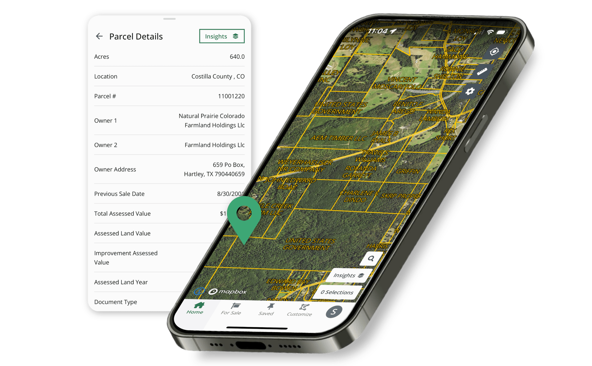
Take Acres in the Field
When you're walking a property, the mobile app makes it easy to look at property lines, ownership information, and key insights on-the-go.
.png)
.png)


.png)

